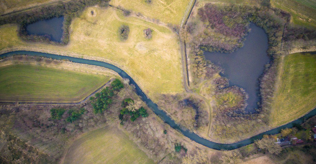
The aim of the project Analysis of existing DPZ activities in the Ministry of the Environment and identification of activities suitable for application of DPZ is to create an overview of the spatial data and information of the Ministry of the Environment that could be provided by remote sensing. The basis of the work is a data audit of the entire Ministry of the Environment, in the framework of which a summary of the datasets currently being created is being carried out. On the basis of this information, identification of activities suitable for replacing/supplementing EO data and the limits of their use will be made. The main output of this project will be an overview of the status and possibilities for the use of remote sensing in the environmental ministry, as well as a cost-benefit analysis of the costs and benefits of its use.
Contact:
Jana Bašistová, jana.basistova@cenia.cz

