The Department of Geoinformatics primarily provides processing, analysis and publication of spatial data and services. At the same time, it implements the INSPIRE Directive and provides technical, legislative and strategic matters in the field of national infrastructure for spatial data and information. It manages the INSPIRE National Geoportal, where, in addition to data and services falling under the INSPIRE Directive, other resources can be found that are used to perform public administration in the Czech Republic or are otherwise of interest to the public.
The Geoportal includes the Metainformation System of the Ministry of the Environment (MIS), which offers comprehensive information on data and services created and operated by organisations of the Ministry of the Environment. The INSPIRE National Geoportal thus represents the main interface for access to thematic data of several dozen entities from central public administration bodies, regional authorities, municipalities, research institutions to private companies, and the displayed data covers a wide range of fields of activity.
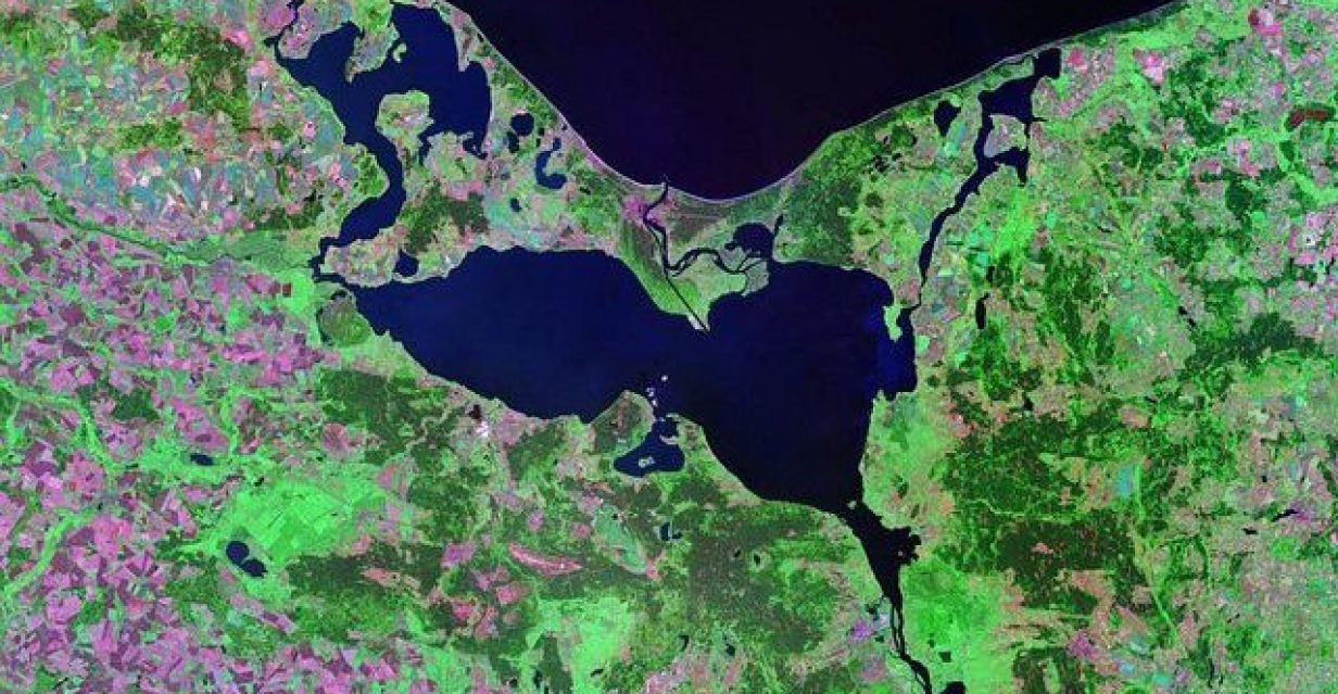
The Department of Geoinformatics also cooperates in the creation of professional and popular publication outputs, especially in the field of land cover and landscape use.
Performance of the agenda of the National Secretariat GEO/Copernicus is transferred to the Czech Hydrometeorological Institute from 1 January 2024.