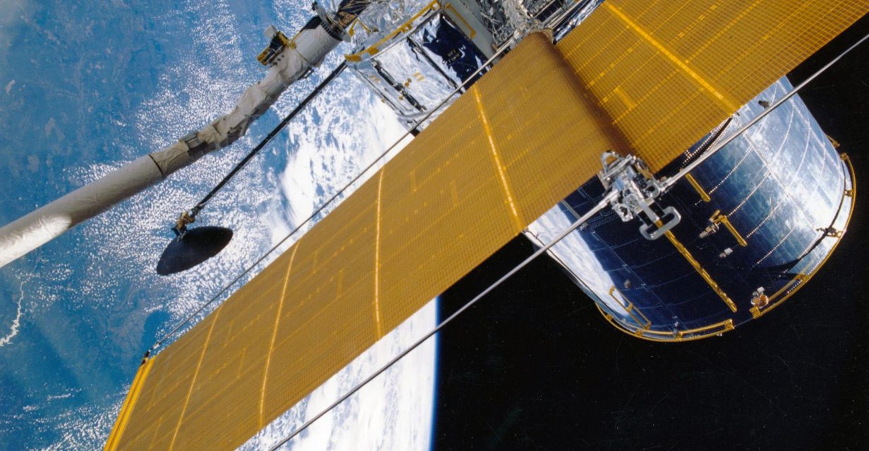
 The Remote Sensing Laboratory was established on the 1st January 2019 as part of the reorganisation of the Czech Environmental Information Agency (CENIA). Its origin was motivated by an effort to try to address the relationships between the various components of the landscape and socio-economic aspects of human activity using remote sensing methods, both at the local and regional or global level. In the past, several projects were successfully resolved by CENIA´s staff using methods of remote sensing, therefore, based on this experience, a specialized workplace was set up to deepen and intensify activities in this area.
The research activity of the Remote Sensing Laboratory is focused primarily on measuring and modelling energy flows in the landscape sphere, especially in two areas. The first area is designed as a set of methods and techniques of remote sensing measuring, for example, surface temperatures, humidity, or vegetation indices. Practical outputs can be, for example, maps showing the ability of water retention in the landscape, the water cycle in the landscape sphere, or the temperature regionalization of the Czech Republic (migration of hotspots, etc.). The second area is focussed on the spectral characteristics of objects, which can be used to determine not only their surface occurrence, but also their condition (e.g. health status of vegetation, pollution of water areas, landfills of waste, etc.).
More information about the laboratory can be found here.

